The latest version of Google Earth 5.0 was released early in February 2009, and as may be expected, this version has a few new features for users to explore.
Earlier versions were impressive enough, but there was something missing - almost two thirds of the earth's surface - the ocean - was not mapped. This has now all changed with the latest version. Google Earth 5.0 now has a detailed bathymetric map (a map of the ocean floor).
You can now 'dive' into the ocean and explore mapped 3D environments of the earth's ocean floor. You can select "Ocean" on the left of the screen, under the "Layers" section. While below the surface, you can also explore thousands of data points. These include ocean life images and videos, best surf spots, and even logs of true ocean expeditions. But this is not the only new feature that has been added.
The new version now also includes "Historical Imagery". What this basically means is that you can now look at a geographical area over a period of time, move it back and forth, and see the geographical changes that may have taken place in that area. These include images from not only years, but also decades ago. The "Historical Imagery" feature is enabled when you click the "clock" icon (at the top, middle of the screen on the toolbar). The feature means you can, for example, take a look at how your city has changed over the past few decades, how new buildings, parks and areas have developed.
"Touring" is another feature added with this new release. What this means is that you can now tell a story by creating a recordable fly-through video by clicking the "record" button and then flying to your destinations in Google Earth. This can then be easily shared with others.
Lastly, 3D Mars in now also available in the latest version. Created with the help of NASA you can explore a 3D map of mars, featuring the latest high-resolution imagery of the landscape. (Accessable from the icon available at the top, middle of the screen on the toolbar. Clicking the icon will open a drop down menu, from where you select "Mars").
Two new Satellites were launched on September 18, 2007 to gather imagery of earth. The new satellites are reported to be able to gather imagery 7 times faster than previous. As time goes by, we will probably see even more, enhanced features come to life in Google Earth.
In
Internet

Check today’s Price of Gas/Petrol, Diesel, CNG and LPG Price for all retailers:

Shops On Rent - No brokers, No commissions
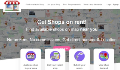 No brokers, No commissions, Get direct tenant on ShopsOnRent.com
Welcome to My Techno World !

Popular Posts
-
Long term capital gains (LTCG) of 10% have been imposed on equity in the Budget 2018.The fair market value will be calculated based on equ...
-
 Cooking bring family together and all families have unique cook styles. However, all vegetable, spices, fruits and even meat products must...
 -
Unbilled Amount SMS UNB to 121 Outstanding Amount SMS OT to 121 Last 3 payment details SMS PAY to 121 ...
-
2 to/too/two IKU I kill you 4 for ILU I love you 1dRfl wonderful ILU (or ILY) I love you 2D to delete IMO in ...
-
 S.No. Keyword send to 121 (toll free) Information 1 3G or 9 Information on 3G services 2 Check 3...
 -
Internet Settings: Under the ' TATA DOCOMO INTERNET' WAP profile in Settings: - Connection Name : TATA DOCOMO INTERNET - Data B...
-
 Russian fans are being told to drink whisky when they visit Wales for a World Cup qualifier on September 9th, to prevent them picking up t...
 -
 Fuel cost are an important determinant of vehicle operating cost. They need to be monitored and assessed accordingly, especially for trans...
 -
Image via Wikipedia Infront of the trial room take your mobile and make sure that your mobile can make calls.... Then enter into the tria...
-
 Travelling is an essential part of our lives. People travel form one destination to another either for leisure, works or business. People ...

Visitors:


0 comments:
Post a Comment